
The starting point for the Benmore Peninsula Track is located at the second car park above the Benmore Dam near Otematata on the South Island of New Zealand.
The start of the walk is marked by gates and a DOC sign.
The walk starts out level. After a few minutes you’ll come to a junction, which marks the start of the Peninsula Circuit. The left track goes uphill, while the right track stays level for a while and then starts to climb.
You can go either right or left at the junction, but I suggest you do the walk in a clockwise direction, so go left at the junction. And here’s why…
The left track has only 3 major switchbacks before you reach a lookout where you can see Junction Island.
The left track is mostly a mixture of dirt and fine gravel, goes through a pine forest, and is steep in some places.
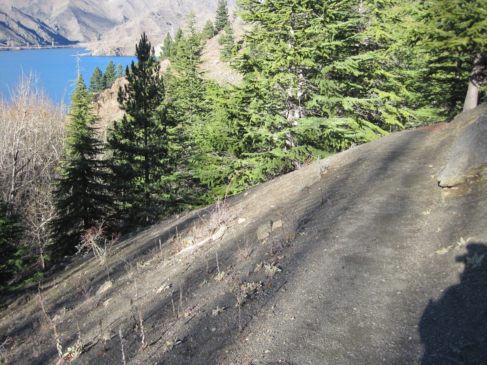
In addition, if you take the left track you’ll be rewarded with nice scenic views of Junction Island just after 20 – 25 minutes of uphill walking.
If you take the right track, you’ll have to deal with delayed gratification and views of the islands. The views of the right track are obscured by pine trees and poplars until you reach Junction Point.
But the positive thing about the right track is that you can see the road that goes over the Benmore Dam from between the pine trees.
The entire track goes through a mixed forest that has lots of pine trees, which smell really good on warm days – giving you the feeling of Christmas.
It can get a bit chilly, though, if you do this walk early in the morning in spring, autumn, or winter. So bring warm and windproof clothing.
At Junction Point, which can be considered the half-way point of the loop track, you can see as far as Mount Cook and the Southern Alps on clear days.

No comments:
Post a Comment